Mittenwald, Germany
Mittenwald was the second half of our Bavaria trip, after three days around Königssee and Ramsau. We reached the station shortly before 3 pm and walked to Alpenhotel Rieger that was only less than ten minutes away.
The hotel was also only a few minutes from the old town, which made it easy to head out again after checking in. Breakfast and afternoon Hi-Tea were included, and the view from our balcony looked towards the mountains.
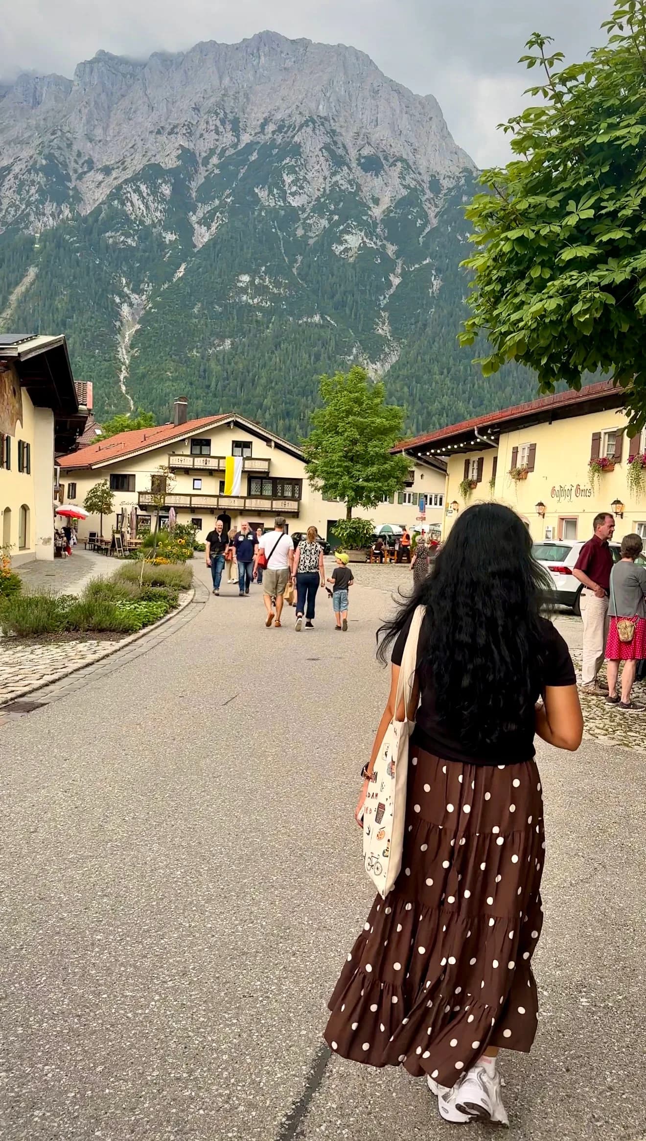
We had expected Mittenwald to be another quiet base for lakes and mountain trails. Instead, our first walk into town brought us to Obermarkt during the Bozner Markt, with wooden stalls filling the street and musicians playing beside the painted houses. We had planned the hiking part of our stay, but this was a complete surprise.
The festival made for a busy first afternoon, while the mountains remained visible behind rooftops and at the ends of the streets. By the time we walked back to the hotel, we were already looking forward to returning to town after the next day's hike.
Our trip at a glance
- When: August
- Base: Mittenwald, at Alpenhotel Rieger
- Getting around: On foot. We did not use a local bus.
- Reached from town: Mittenwald old town, Bozner Markt, Ederkanzel, Leutasch Gorge, Lautersee, Ferchensee and Laintal
Day 1: Mittenwald Old Town and the Bozner Markt
Walking around Mittenwald
We spent our first hours in Mittenwald wandering without through old market. We followed Obermarkt, stopped near St. Peter und Paul and browsed a few shops, with the mountains appearing whenever the buildings opened around us.
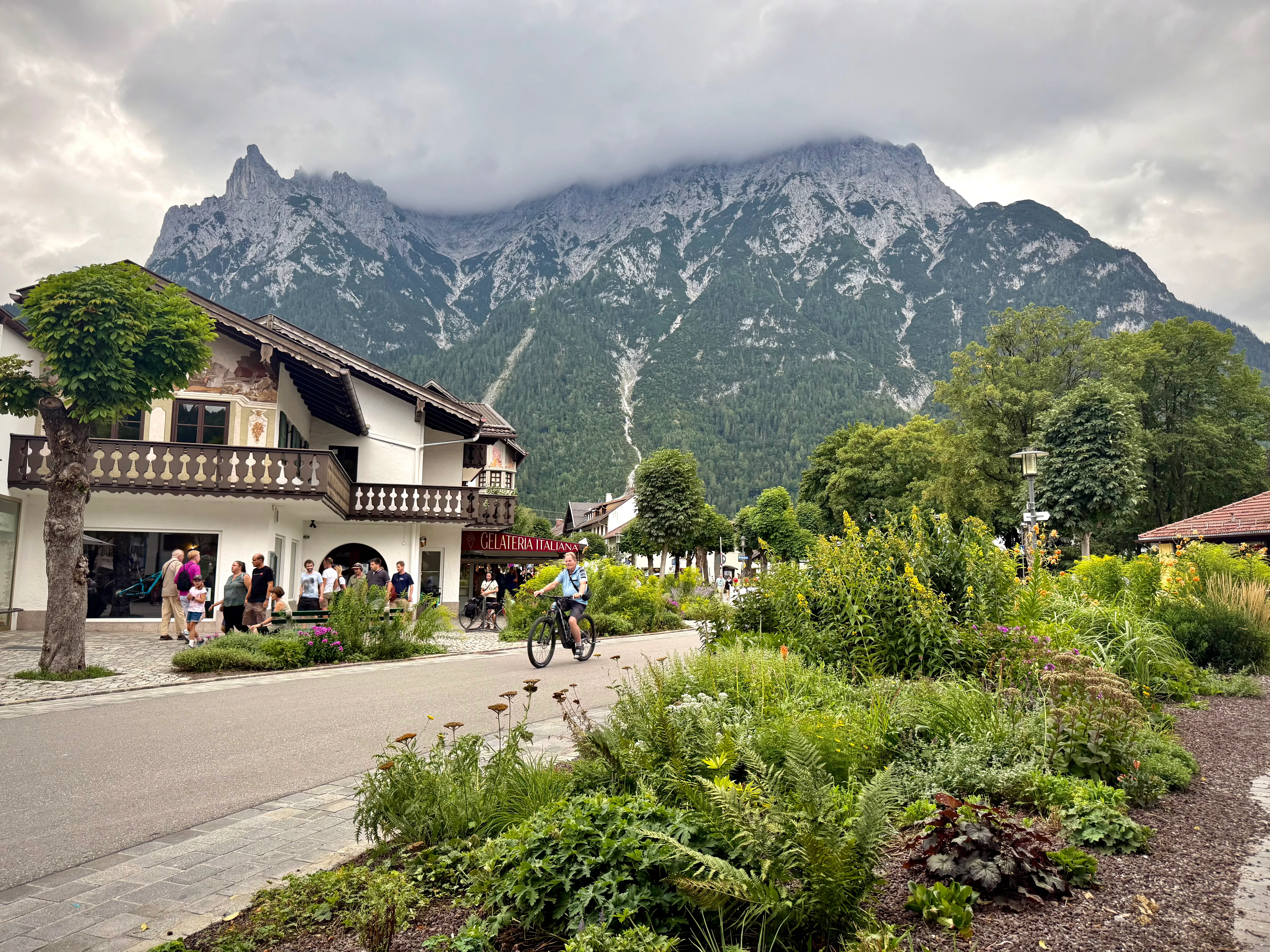
The Lüftlmalerei was the detail we kept noticing. Some façades had religious scenes or painted frames around the windows while others showed local life or mountain landscapes. On one building, a mural stretched across most of the upper wall, with figures standing beside a lake beneath the mountains.
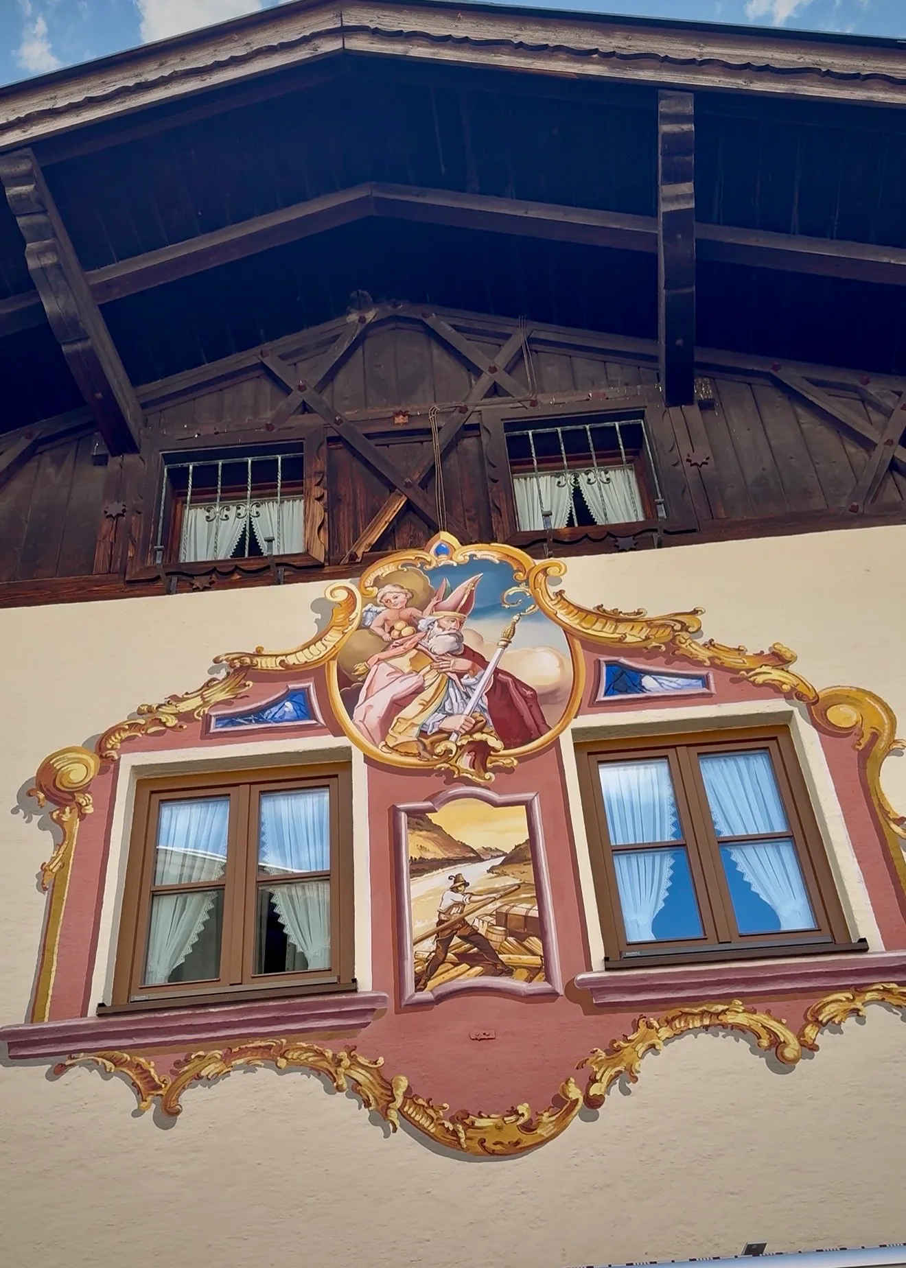
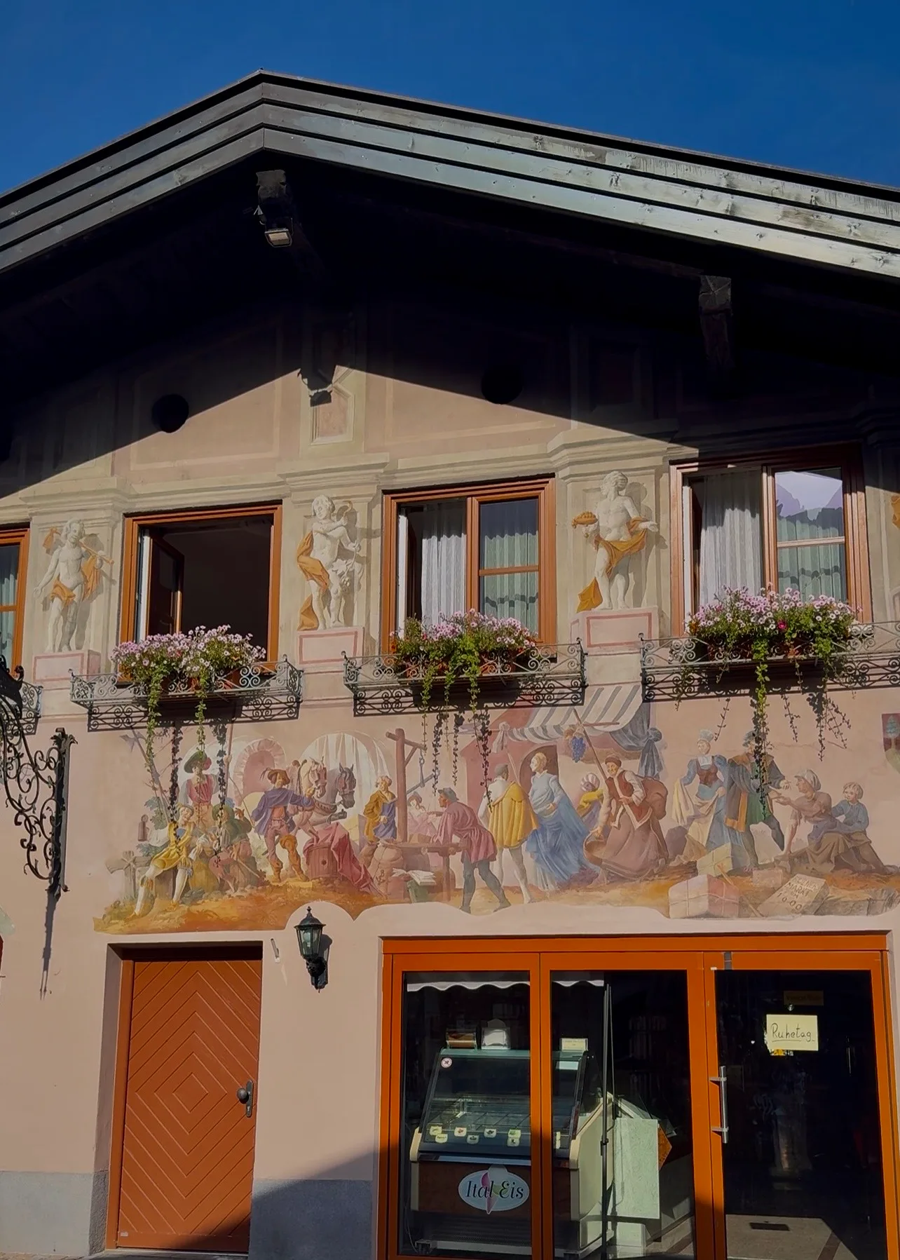
The paintings continued beyond Obermarkt onto quieter side roads and larger buildings. Their presence on ordinary side streets made them feel like part of everyday Mittenwald.
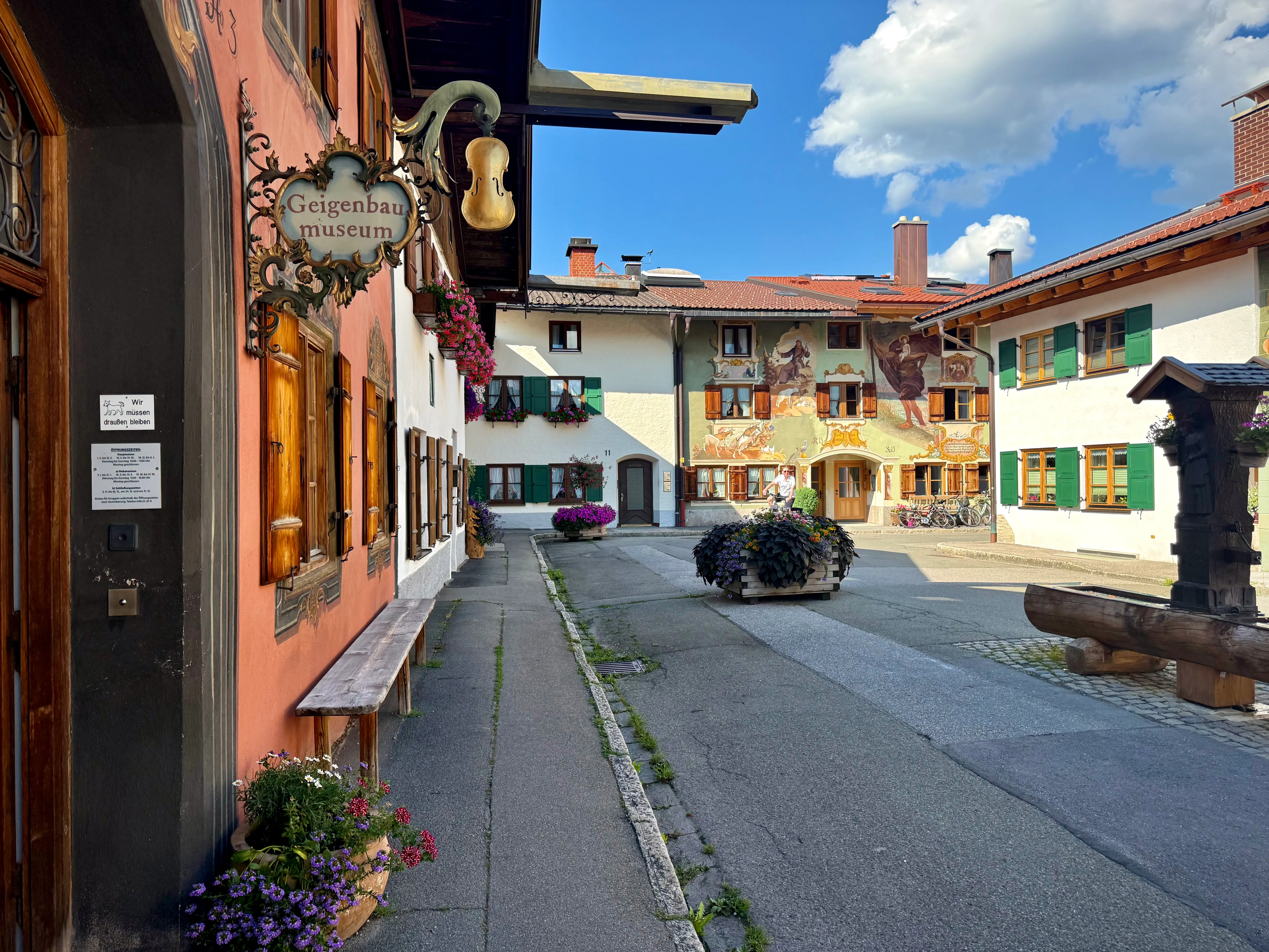
Mittenwald has been known for violin making since Matthias Klotz began working here in the late seventeenth century. We passed the Geigenbaumuseum and the large wooden violin-tree sculpture while exploring the old town.
St. Peter und Paul
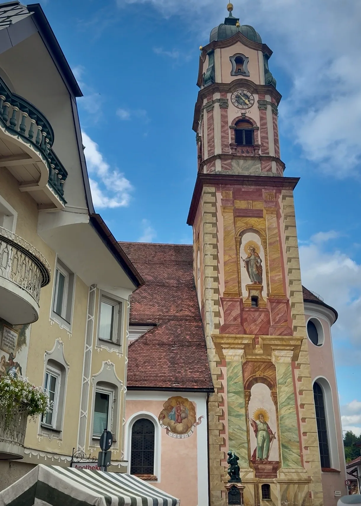
St. Peter und Paul is difficult to miss because its painted tower rises directly above the centre. We passed it several times that afternoon as different streets led us back towards it, and its colours echoed the decorated façades nearby.
We accidentally arrived during the Bozner Markt
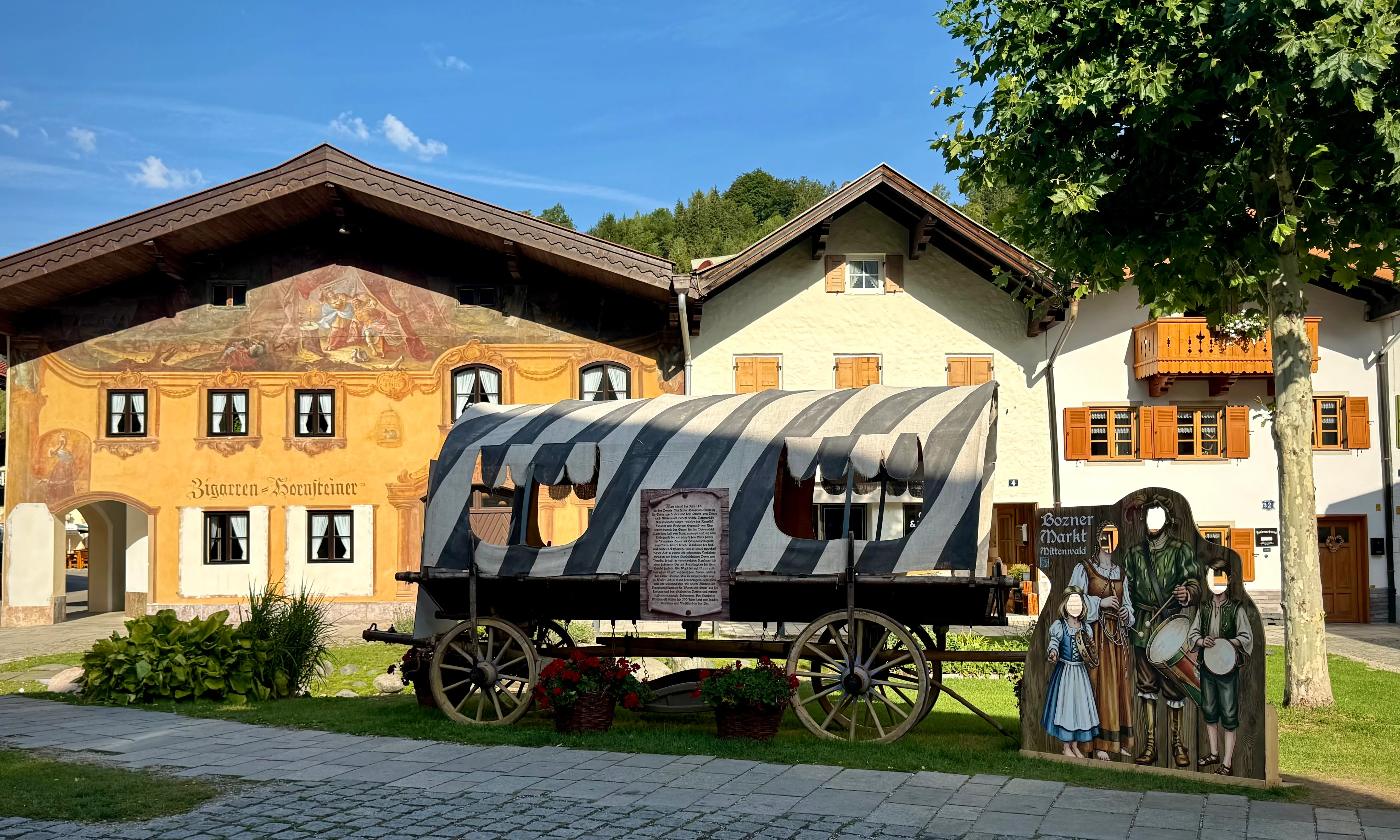
We had not planned our trip around the Bozner Markt and knew none of its history when we booked. The festival commemorates the market transferred from Bozen to Mittenwald in 1487. We happened to arrive while it was in full swing.
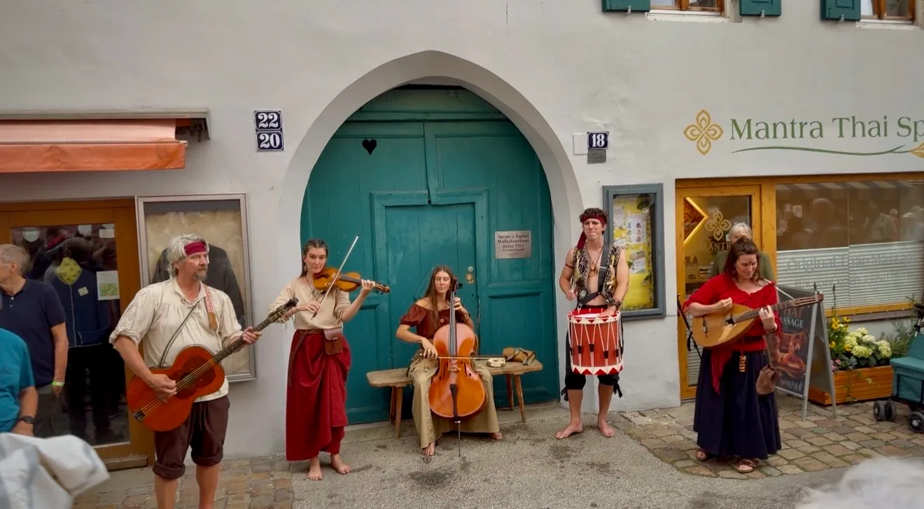
One group played violin, cello and guitar beside a building while people gathered around them. Music kept appearing elsewhere as we walked - sometimes we heard it before finding the performers, and sometimes they moved through the streets with the crowd following behind. We also watched performers on stilts making their way above everyone.
We bought champignons with dip from one of the stalls and ate them while watching the street. After a while, the crowd and constant activity started to feel overwhelming, so we left the busiest part of the festival and continued through the quieter streets nearby.
Day 2: A wrong turn to Ederkanzel and the Leutasch Gorge
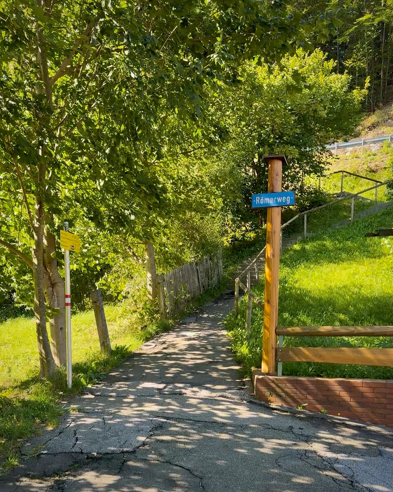
The next morning, we set out for Leutasch Gorge and planned to complete the full Geisterklamm loop. We started from Römerweg near the edge of Mittenwald, where the yellow hiking signs pointed towards Ederkanzel, Lautersee and Ferchensee.
At first we relied on our digital map, which led us onto a paved road. Cars began passing us and cyclists were using the same route, so it soon became clear that this was not the hiking path we wanted. We retraced our steps, continued uphill and took the trail on the left when a small chapel appeared on our right.
From that point, we put the digital map away and followed the yellow signs. One of them gave Ederkanzel as roughly an hour away. We had already considered visiting it, so we changed the order of the day and decided to climb there first before descending towards the gorge.
Climbing to Ederkanzel
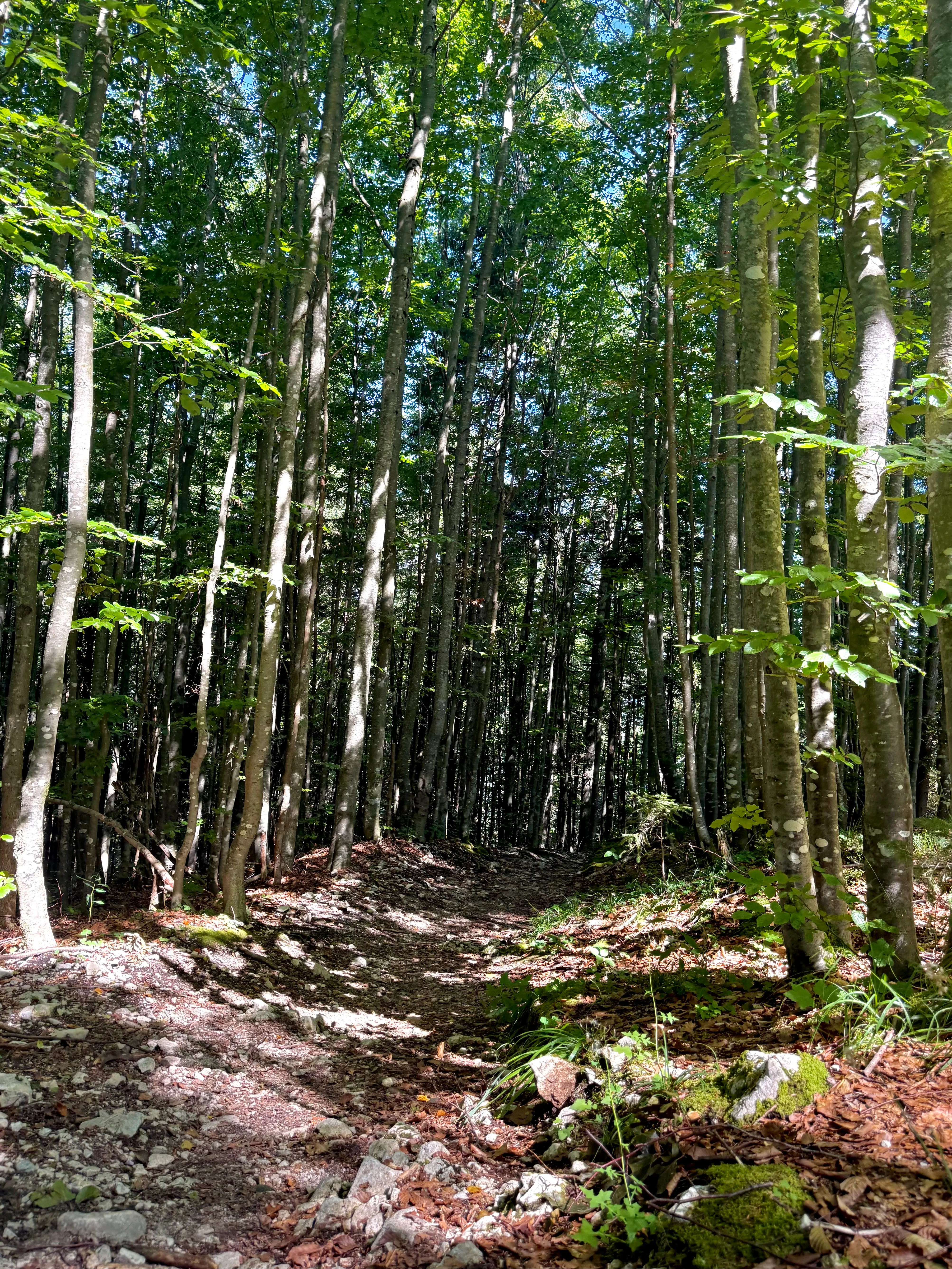
Once we left the road, the forest trail climbed steadily on comfortable footing. The route was clearly marked, and after the earlier confusion it was a relief to follow the signs without repeatedly checking AllTrails.
We knew Ederkanzel for its views towards Austria, but we only understood its unusual location after reaching the restaurant. The German-Austrian border passes directly through the property.
Lunch on the German-Austrian border
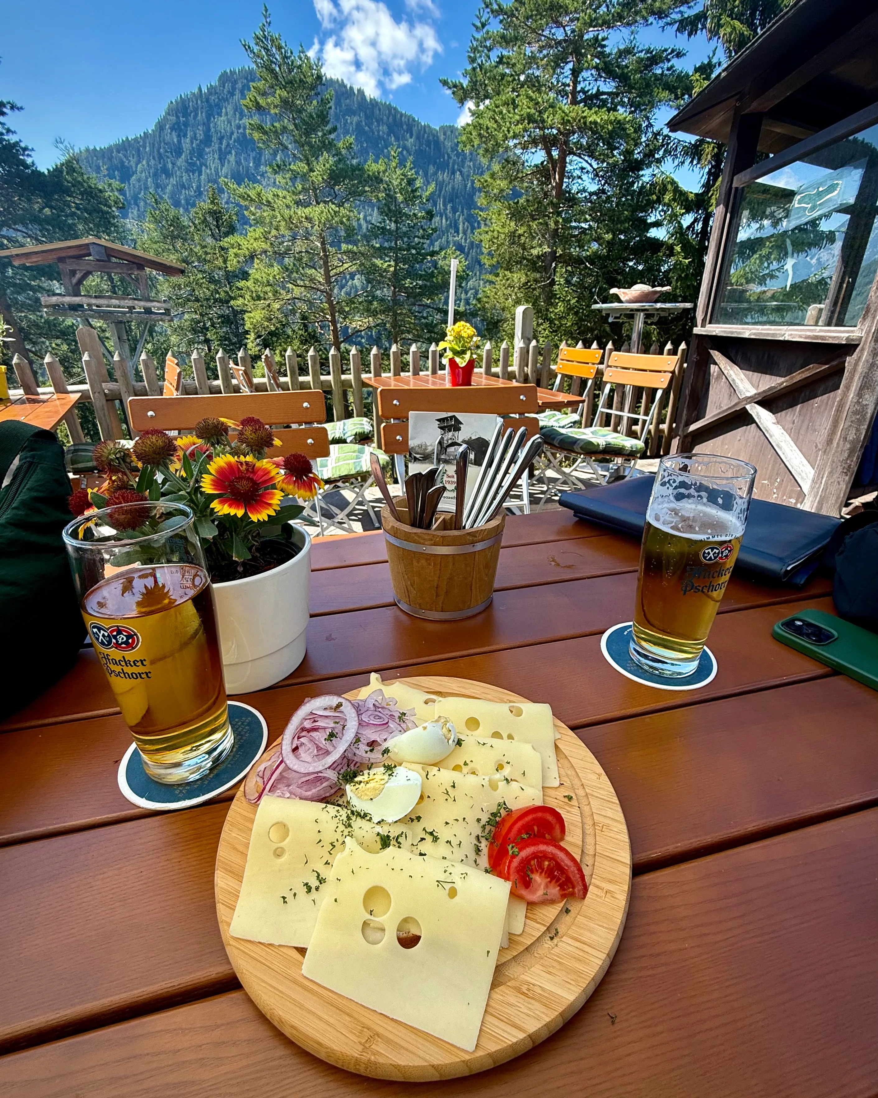
One of the people working there showed us where the border ran and pointed out an old boundary stone inside. The building stands in Bavaria, while the terrace lies on Austrian soil. We had hiked up from Germany and were now sitting in Austria for lunch without having passed a conventional border crossing.
With the Austrian mountains in front of us, we ordered beer and a Käseteller. We had intended Ederkanzel to be a stop before the gorge, but we stayed at the table longer than planned.
From Ederkanzel, we turned towards Leutasch Gorge, which had originally been the main destination of the day.
Descending towards the Leutasch Gorge
The part of our descent followed the Germany-Austria border. When we checked our position, the line on the map ran close to the trail, although there was little on the ground to show when we were moving between the two countries.
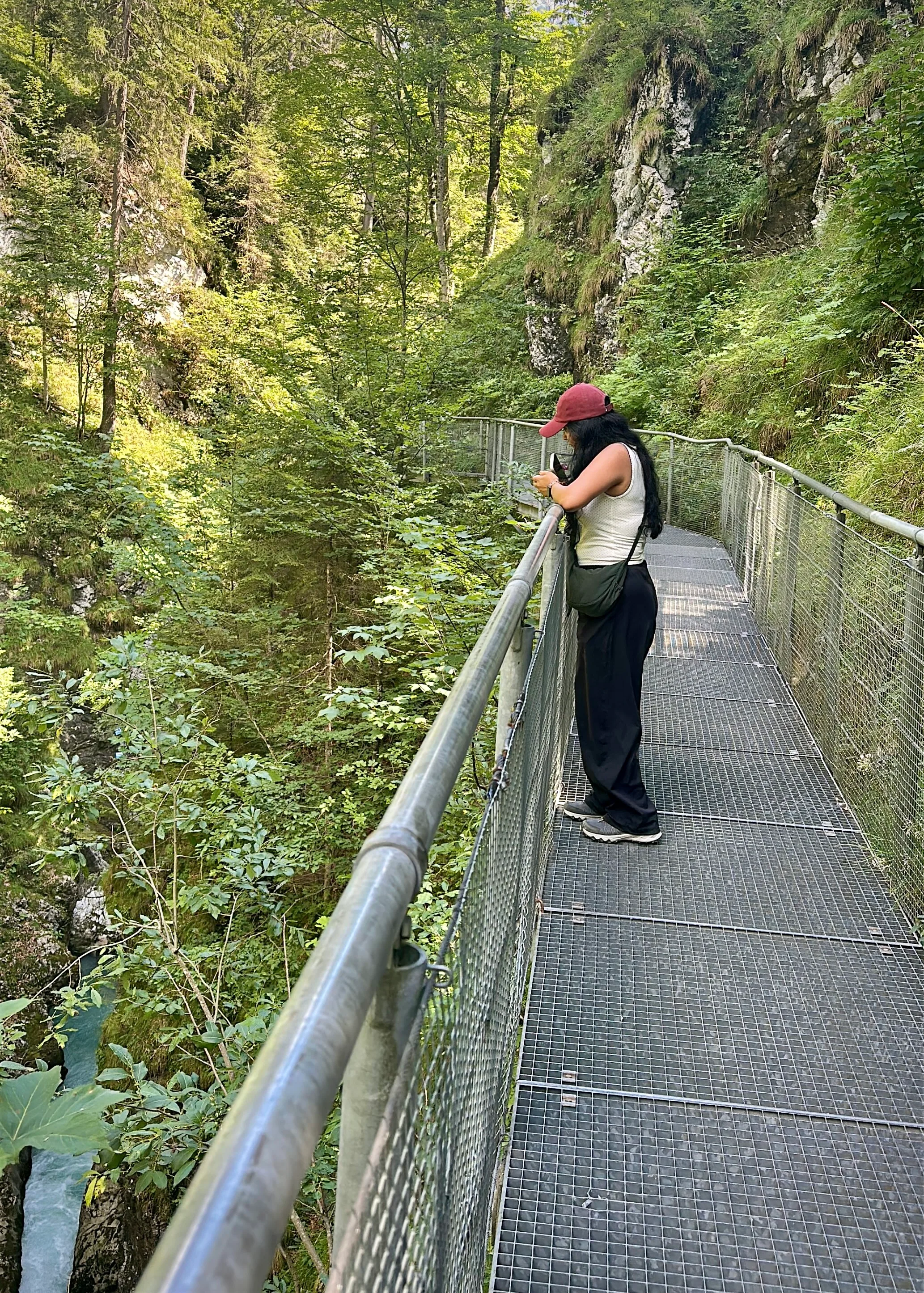
Closer to Leutasch Gorge, the forest trail led onto metal walkways fixed to the rock. Bridges crossed the gorge, with the water running far below the grating under our feet.
I kept stopping to look through the metal grating and at the sections attached directly to the rock face. The barriers felt substantial even on the higher crossings, so I was comfortable looking down into the gorge. One of those crossings was the Höllbrücke, or Hell Bridge; in my notes that evening, I shortened the entire moment to three words: "walked over Hell".
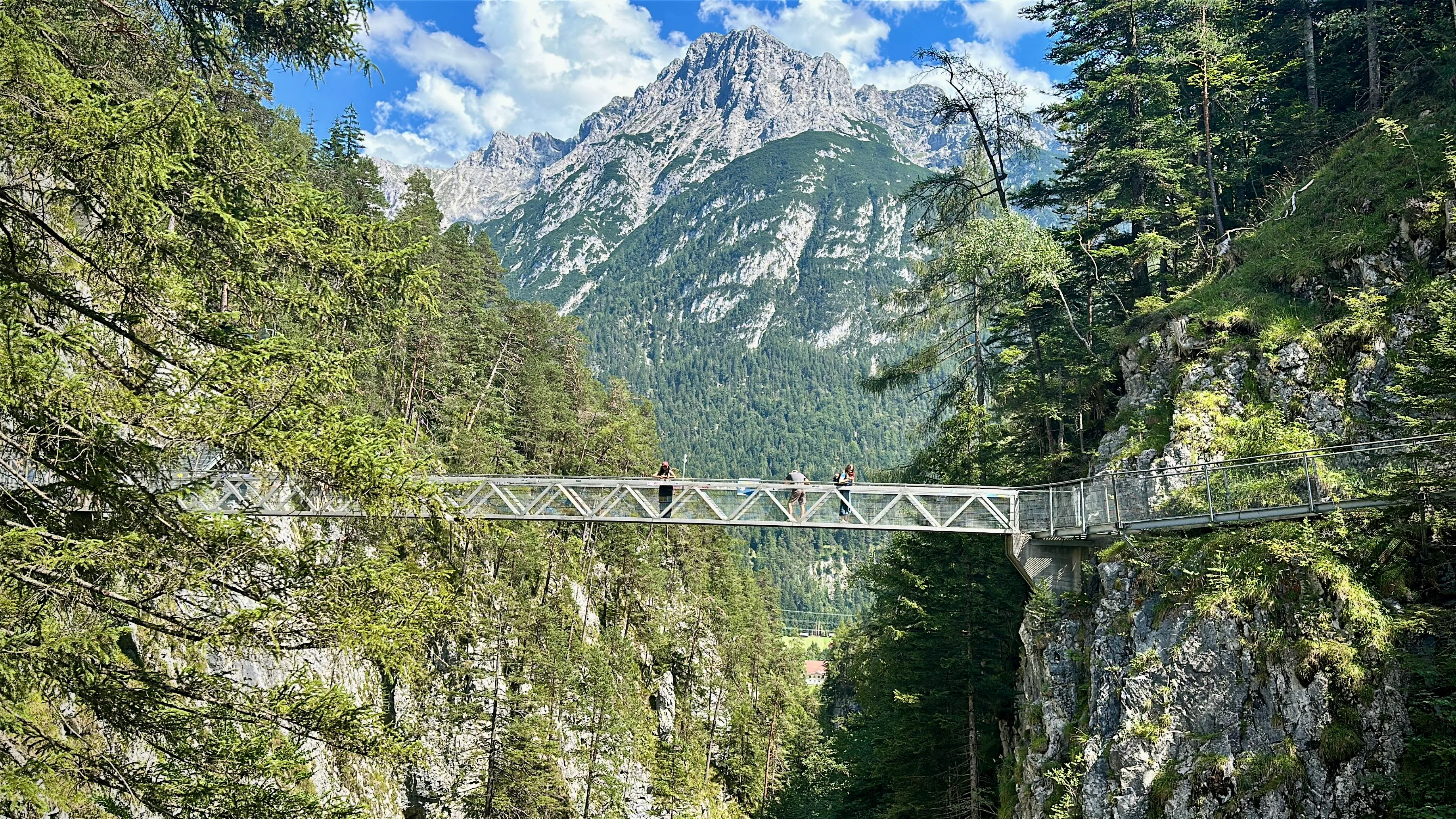
From the Panorama Bridge, the turquoise water looked especially distant below us. Other walkers were on the route, but there was enough room to stop for photographs without holding anyone up.
Inside the Geisterklamm
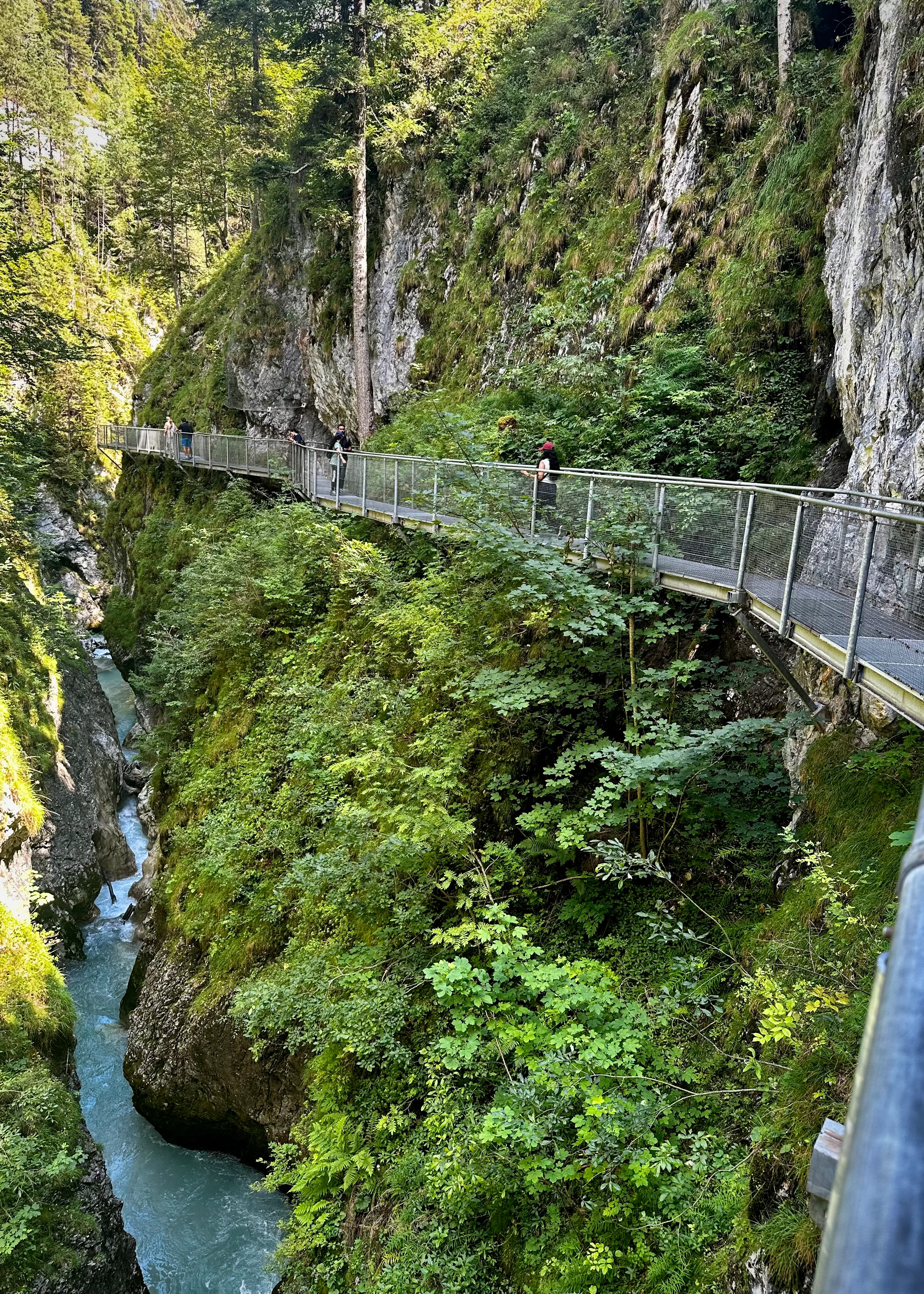
Short signs and quizzes told stories about the gorge along the route. Much of it was aimed at children, yet we still stopped to read several before completing the full Geisterklamm loop.
The wrong turn had added Ederkanzel and lunch across the border to a day that was supposed to centre on the gorge. Back at the hotel, we had Hi-Tea and rested after the longer route. When we went out again at around 9 pm, the restaurants we tried had already stopped taking orders and the town was beginning to close for the night.
Day 3: Lautersee, Ferchensee and the walk back through Laintal
For our last full day, we followed a loop from Mittenwald to Lautersee and Ferchensee, returning through Laintal. AllTrails lists the route at around 8.7 km, with roughly 264 metres of elevation gain and an estimated walking time of 2.5 to 3 hours. Our day took considerably longer because we stopped at Ferchensee for more than an hour to swim.
Seeing Lautersee on the way to Ferchensee
We followed the yellow signs out of town, and our first proper view of Lautersee came from the trail above the shoreline. As the path gained height, the trees opened onto green meadows with the lake below and mountains running across the horizon.
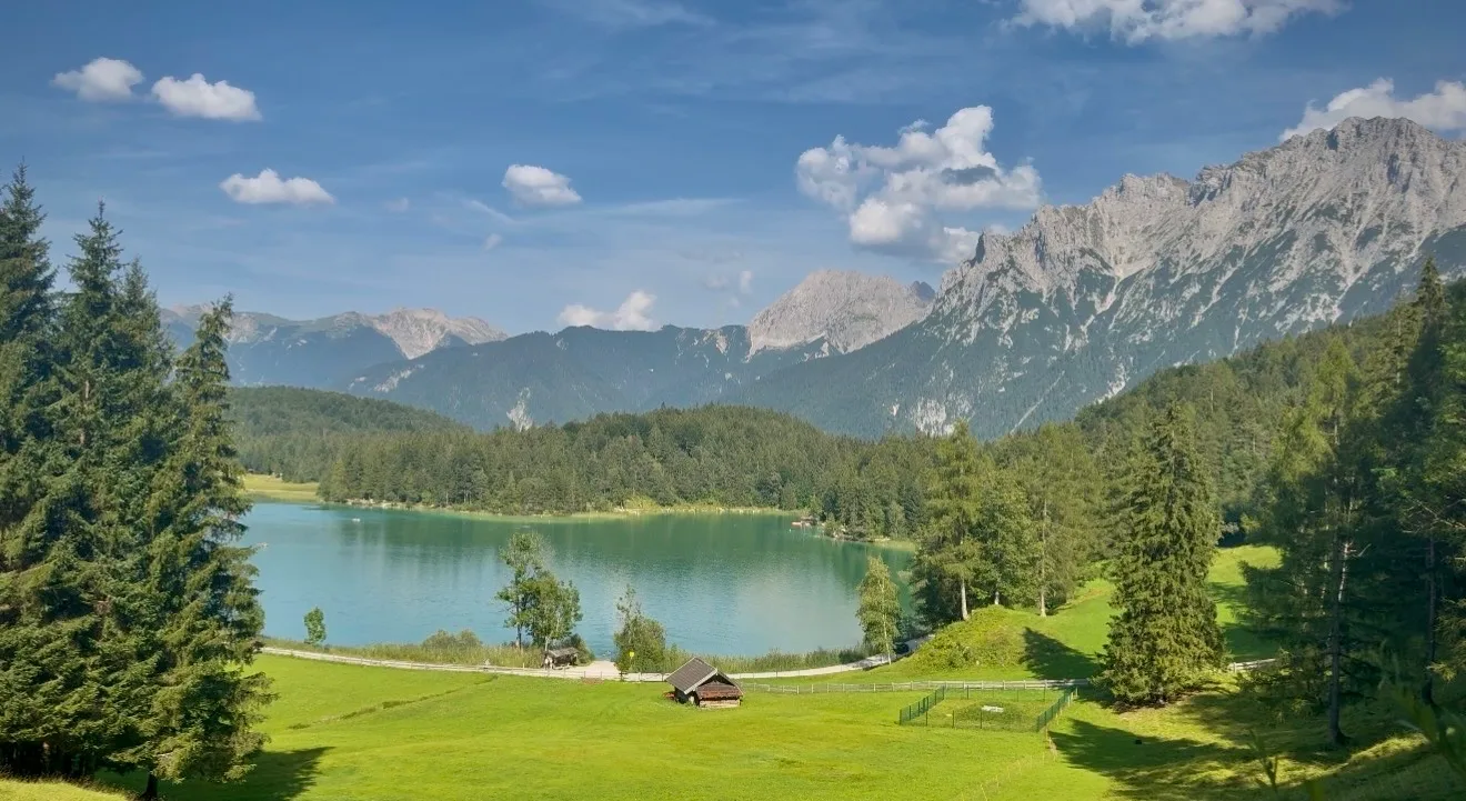
From there, the lake sat within a broad view of meadows and mountains. Ferchensee was still ahead, so we continued through the forest and the open sections of trail without stopping for long.
Ferchensee
Ferchensee was the farthest point of our loop and the place where the day slowed down. Forest surrounds much of the lake, with pale rocky peaks rising beyond the trees, and the water was difficult to resist on a hot August afternoon.
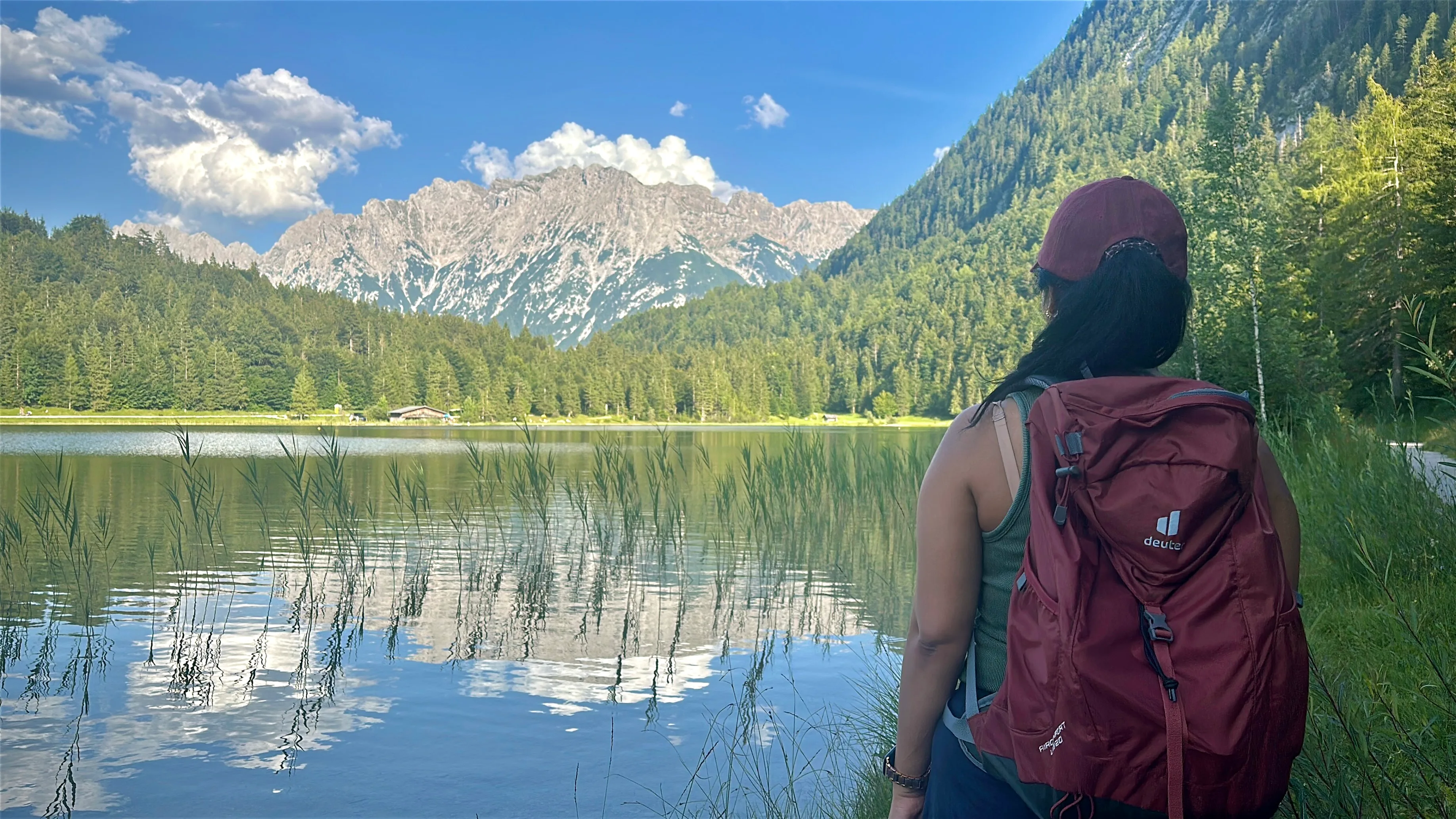
Plenty of people were swimming when we arrived, although some were already packing up for the day. We had brought swimming clothes, so we found a place beside the lake and went in.
The water was cold and refreshing after walking in the heat. We stayed for around an hour to an hour and a half, moving between swimming and sitting beside the lake. Ferchensee became my favourite of the two lakes. Earlier Alpine lake stops had kept us on a boat, trail or shoreline; here we were in the water looking towards the mountains.
Back towards Lautersee
After drying off, we continued the loop and returned to Lautersee from another direction, this time close to the shore. Earlier we had looked down on the lake from the trail; now we walked beside it before continuing through the meadows towards Maria Königin Kapelle.
Through the meadows to Maria Königin Kapelle
The forest opened into grassy meadows as we moved away from the lake. Wooden fences followed the path, and small buildings stood against the mountains in the distance. Maria Königin Kapelle soon appeared above the meadow, a small white chapel on its own in the open grass.
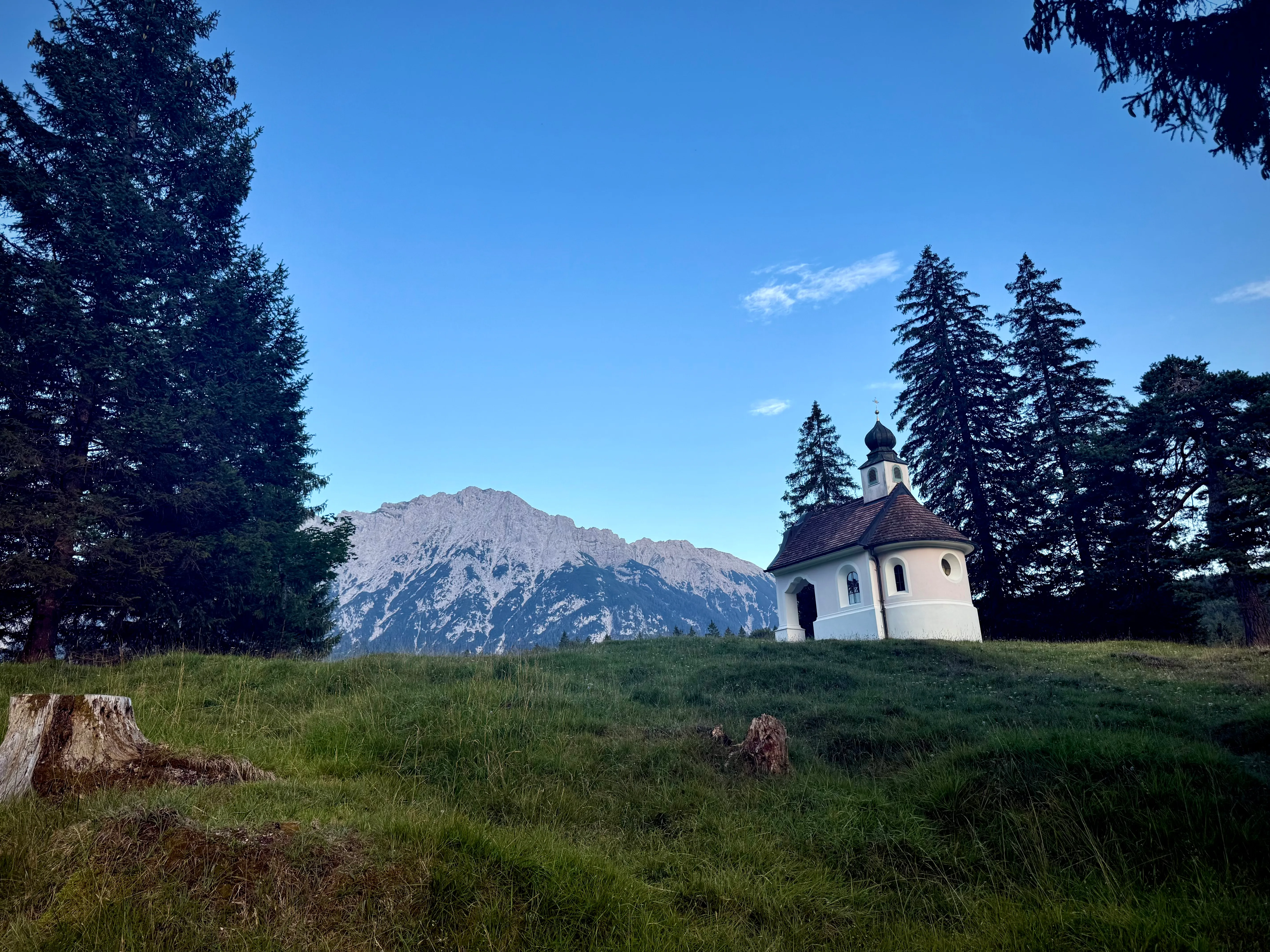
The setting drew my attention before the building itself did. Open grass surrounded the chapel, with the mountain wall behind it and no other large structure nearby. From there, the route began descending towards Laintal, passing small wooden wayside crosses before the meadows disappeared behind trees and rock.
The final stretch through Laintal
As we entered Laintal, the trail narrowed and became more shaded. Running water replaced the open quiet of the meadows as we walked between forest and rock.
[PHOTO: Narrow forest and gorge path]
Lainbach waterfall appeared directly beside the route, so there was no separate detour to find it. Water dropped through a rocky section surrounded by trees, and the trail continued downhill alongside the gorge.
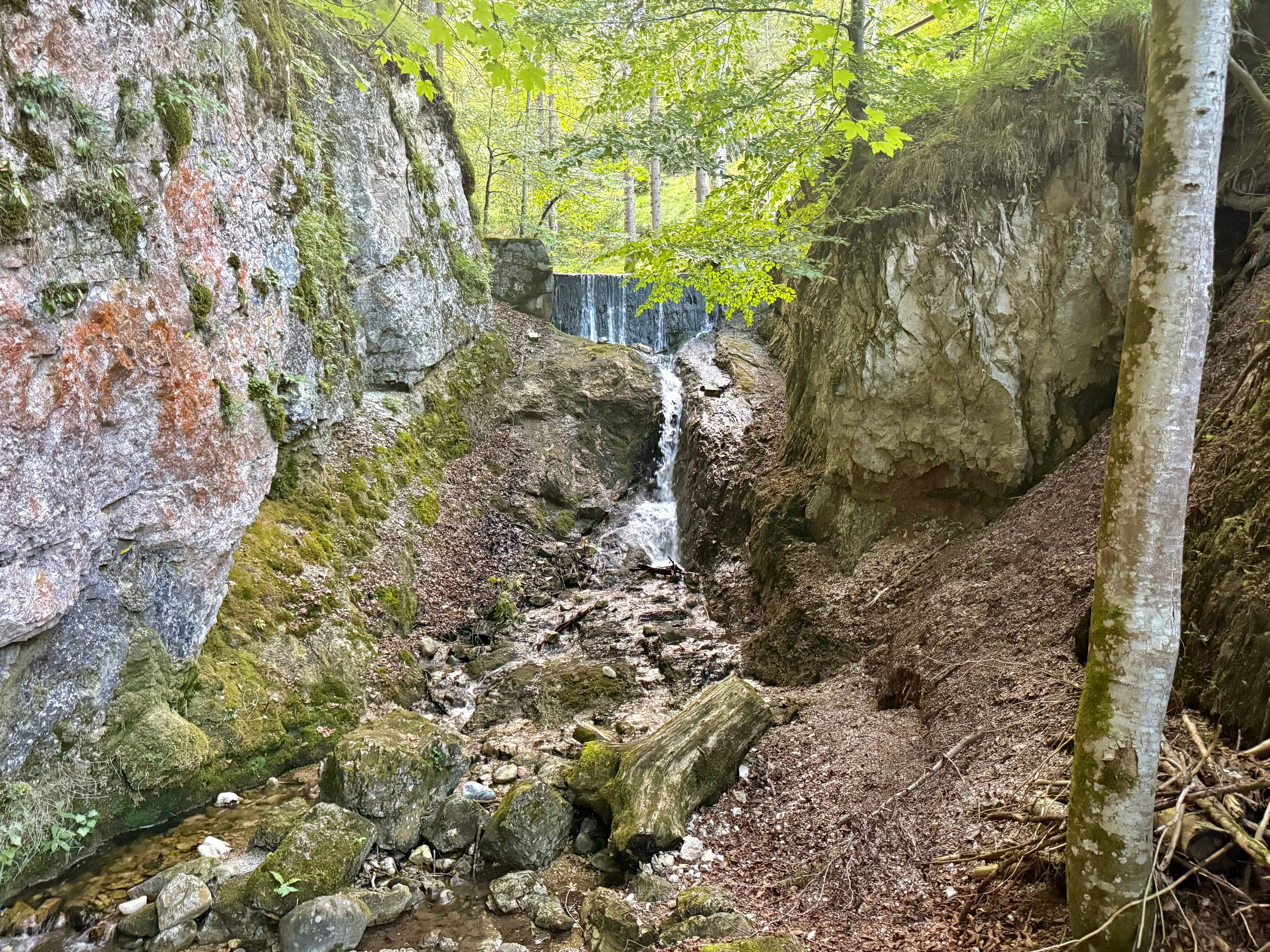
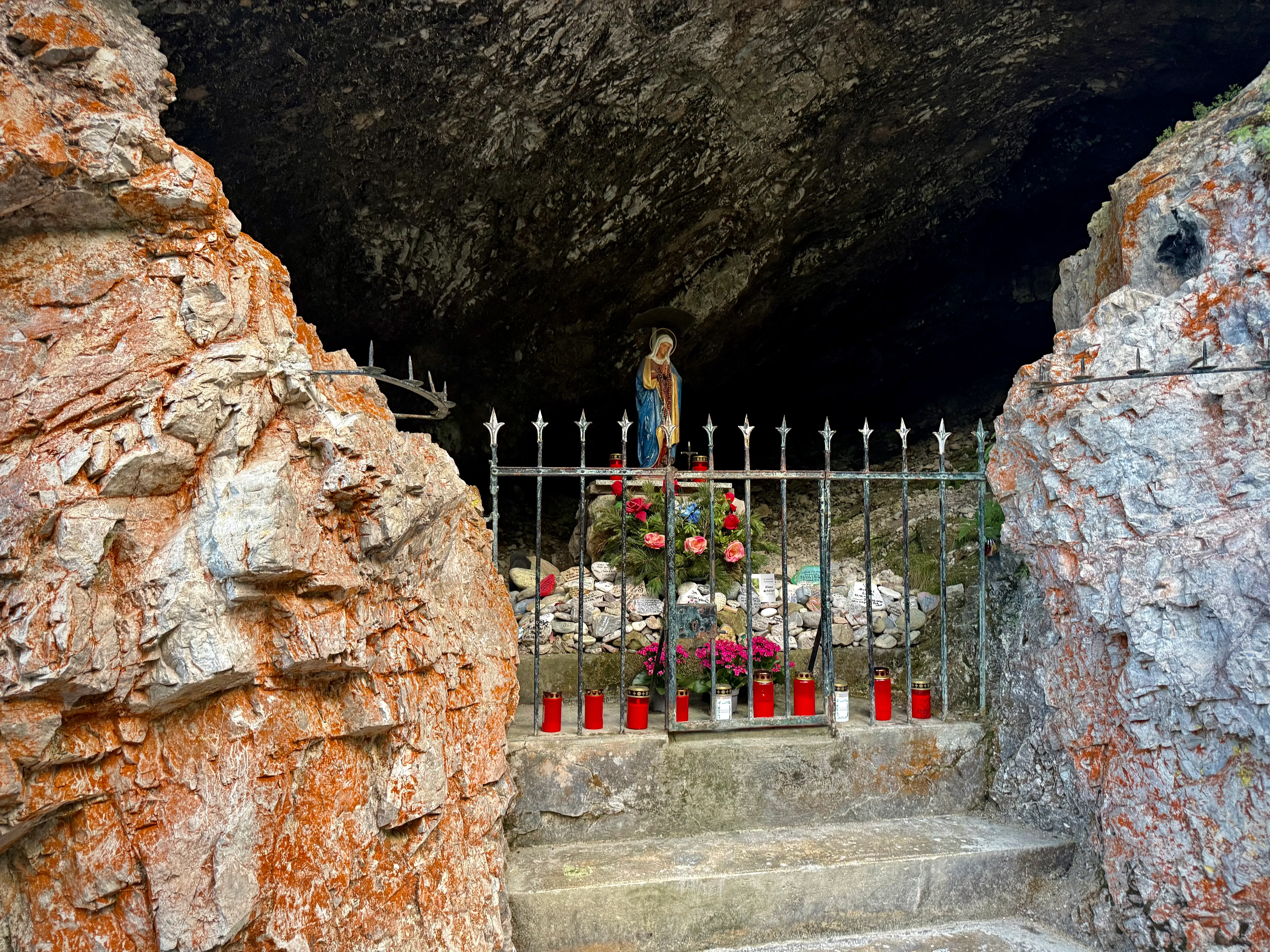
The path became narrower and more constructed around the waterfall. Further along, we reached the Mariengrotte, a small Marian shrine set directly into the rock, before the gorge gradually opened and led us back towards town.
Our last evening in Mittenwald
By the time we finished the hike, we were extremely hungry and went straight to an Indian restaurant for dinner. Afterwards, we took one last walk through Mittenwald. It was the final night of the Bozner Markt, and most of the day-trippers had already left, leaving the streets calmer than they had been during the day.
A man was singing in the old town, and we stopped for one final performance. We stood there listening for a while before walking back to the hotel.
Three days in Mittenwald
When I think about Mittenwald, I return to the day we took the wrong road. We had left town expecting to walk directly to Leutasch Gorge; by lunchtime, we were sitting across the border in Austria, with the gorge still ahead of us. My note from that evening was much shorter than the story: "walked over Hell".